🔍

Purchase the full subscription package now and enjoy a 40% discount, along with free updates for future editions.
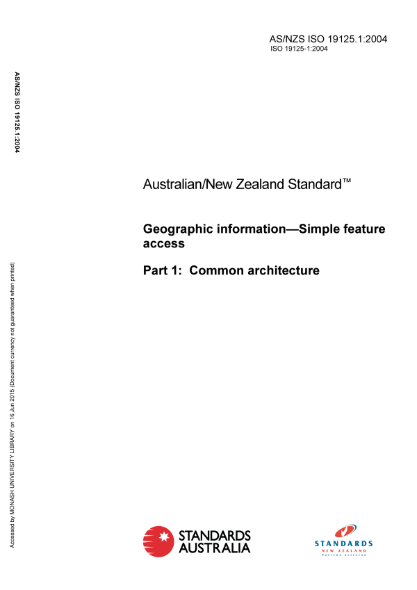
AS/NZS ISO 19125.1:2004
$213.50
Geographic information – Simple feature access, Part 1: Common architecture
Adopts ISO 19125-1:2004 which specifies a common architecture and defines terms to use within the architecture.
Table of contents
Header
About this publication
Preface
Introduction
1 Scope
2 Conformance
3 Normative references
4 Terms and definitions
5 Abbreviated terms
6 Architecture
6.1 Geometry object model
6.1.1 Overview
6.1.2 Geometry
6.1.2.1 Description
6.1.2.2 Basic methods on geometric objects
6.1.2.3 Methods for testing spatial relations between geometric objects
6.1.2.4 Methods that support spatial analysis
6.1.3 GeometryCollection
6.1.3.1 Description
6.1.3.2 Methods
6.1.4 Point
6.1.4.1 Description
6.1.4.2 Methods
6.1.5 MultiPoint
6.1.6 Curve
6.1.6.1 Description
6.1.6.2 Methods
6.1.7 LineString, Line, LinearRing
6.1.7.1 Description
6.1.7.2 Methods
6.1.8 MultiCurve
6.1.8.1 Description
6.1.8.2 Methods
6.1.9 MultiLineString
6.1.10 Surface
6.1.10.1 Description
6.1.10.2 Methods
6.1.11 Polygon
6.1.11.1 Description
6.1.11.2 Methods
6.1.12 MultiSurface
6.1.12.1 Description
6.1.12.2 Methods
6.1.13 MultiPolygon
6.1.14 Relational operators
6.1.14.1 Background
6.1.14.2 The Dimensionally Extended Nine-Intersection Model (DE-9IM)
6.1.14.3 Named spatial relationship predicates based on the DE-9IM
6.2 Well-known Text Representation for Geometry
6.2.1 Component overview
6.2.2 Language constructs
6.2.3 Examples
6.3 Well-known Binary Representation for Geometry
6.3.1 Component overview
6.3.2 Component description
6.3.2.1 Introduction
6.3.2.2 Numeric type definitions
6.3.2.3 XDR (Big Endian) encoding of numeric types
6.3.2.4 NDR (Little Endian) encoding of numeric types
6.3.2.5 Conversions between the NDR and XDR representations of WKBGeometry
6.3.2.6 Relationship to other COM and CORBA data transfer protocols
6.3.2.7 Description of WKBGeometry representations
6.3.2.8 Assertions for Well-known Binary Representation for Geometry
6.4 Well-known Text Representation of Spatial Reference Systems
6.4.1 Component overview
6.4.2 Component description
Annex A
A.1 Introduction
A.2 Geometry model
A.2.1 Geometry model of SFA-CA
A.2.2 Parts of geometry model of Spatial schema
A.3 Correspondence
A.3.1 Overview
A.3.2 Geometry type
A.3.2.1 Overview
A.3.2.2 Basic methods on geometry
A.3.2.3 Methods for testing spatial relations between geometric objects
A.3.2.4 Methods that support spatial analysis
A.3.3 “Atomic” subtypes of the Geometry type
A.3.3.1 Overview
A.3.3.2 Point
A.3.3.3 Curve
A.3.3.4 LineString
A.3.3.5 LinearRing and Line
A.3.3.6 Surface
A.3.3.7 Polygon
A.3.4 Collection subtypes of the Geometry type
A.3.4.1 Overview
A.3.4.2 GeometryCollection
A.3.4.3 MultiPoint
A.3.4.4 MultiLineString
A.3.4.5 MultiPolygon
Annex B
B.1 Purpose of this annex
B.2 Linear units
B.3 Angular units
B.4 Ellipsoids and spheres
B.5 Geodetic datums
B.6 Prime meridians
B.7 Map projections
B.8 Map projection parameters
Bibliography
Cited references in this standard
Please select a variation to view its description.
| Published | 17/11/2004 |
|---|---|
| Pages | 42 |
Please select a variation to view its pdf.
